 VANLYFE
Bathrooms & water
Restrooms, showers, drinking water, gyms and laundromats
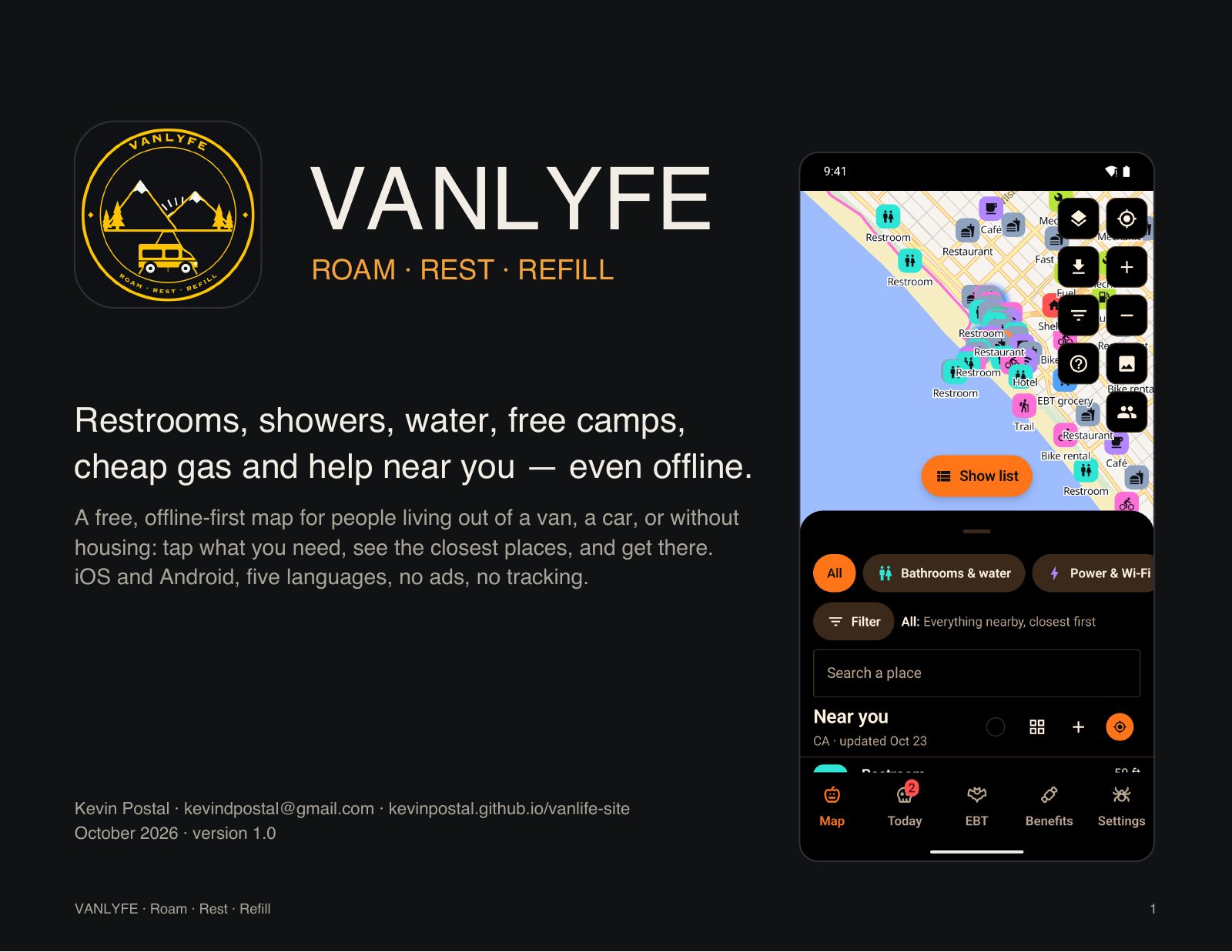
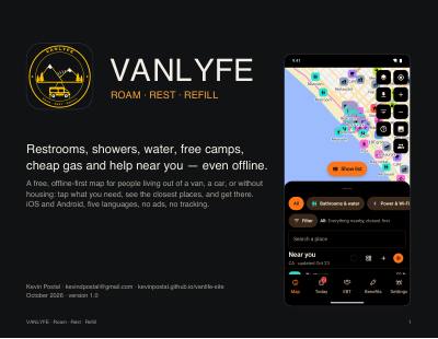
A free, offline-first map for people living out of a van, a car, or without housing: tap what you need, see the closest places, and get there.
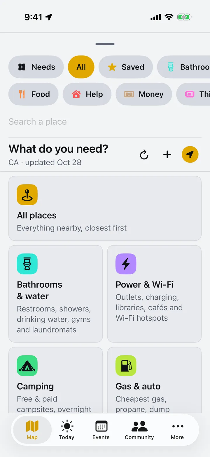
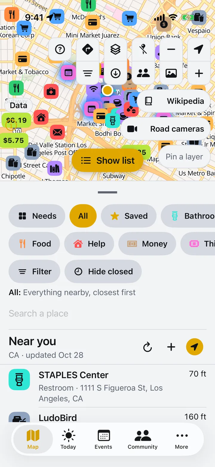
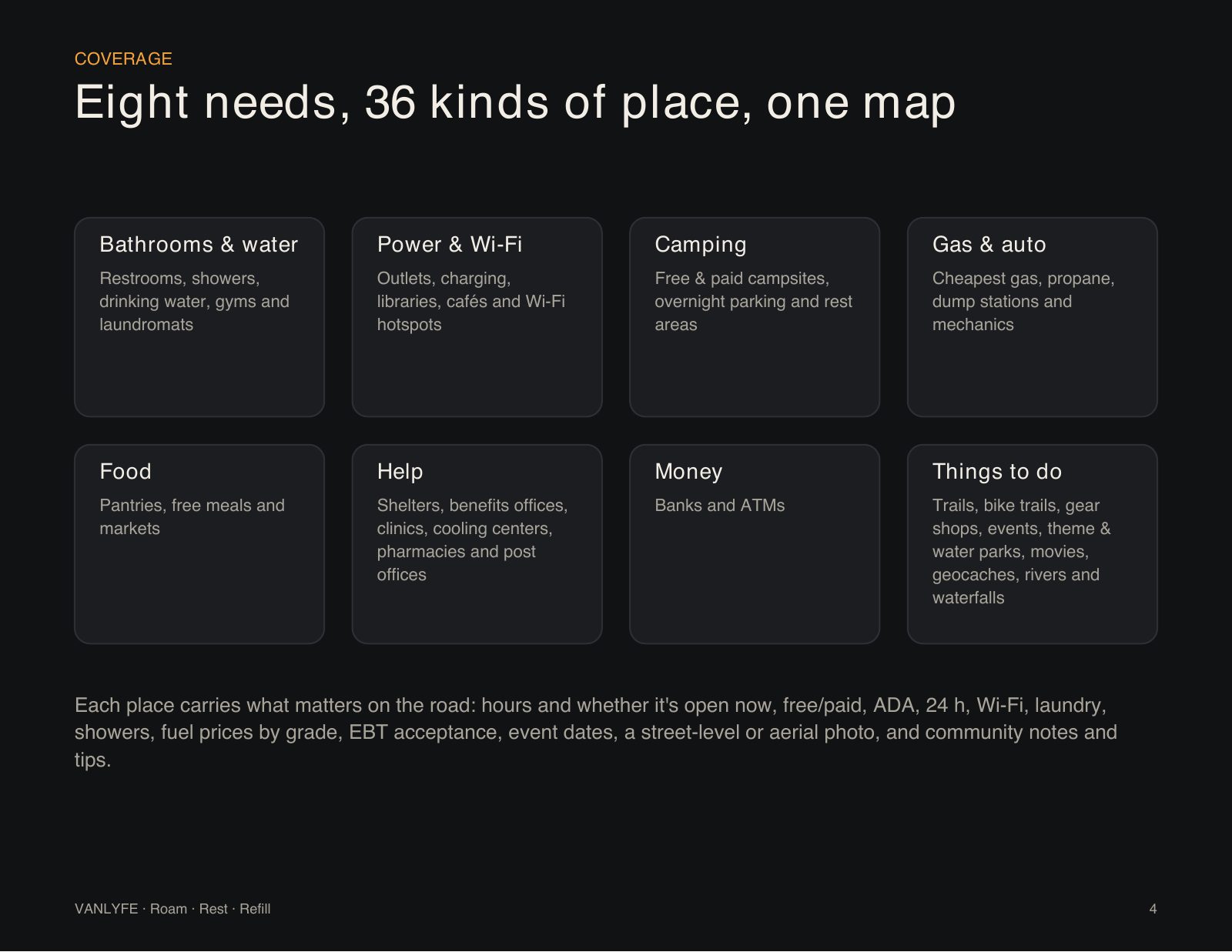
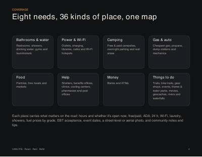
Eight needs, 36 kinds of place, one map. The same tiles open the app.
Restrooms, showers, drinking water, gyms and laundromats
Outlets, charging, libraries, cafés and Wi-Fi hotspots
Free & paid campsites, overnight parking and rest areas
Cheapest gas, propane, dump stations and mechanics
Pantries, free meals and markets
Shelters, benefits offices, clinics, cooling centers, pharmacies and post offices
Banks and ATMs
Trails, bike trails, gear shops, events, theme & water parks, movies, geocaches, rivers and waterfalls
Each place carries what matters on the road: hours and whether it's open now, free or paid, ADA, 24 h, Wi-Fi, laundry, showers, fuel prices by grade, EBT acceptance, event dates, a street-level or aerial photo, and community notes and tips.
Finding places never needs an account, and every lookup runs on the phone, so the answer is there with or without signal.
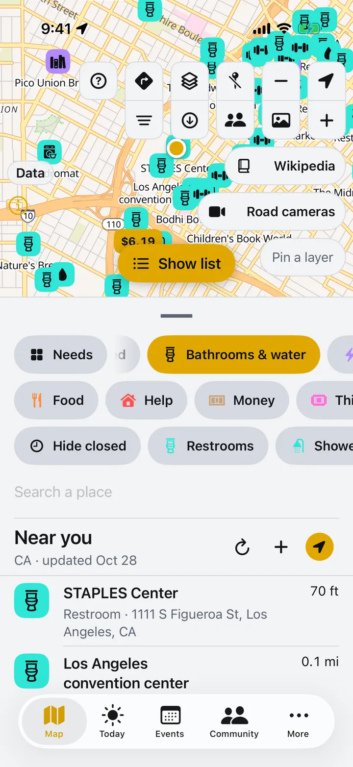
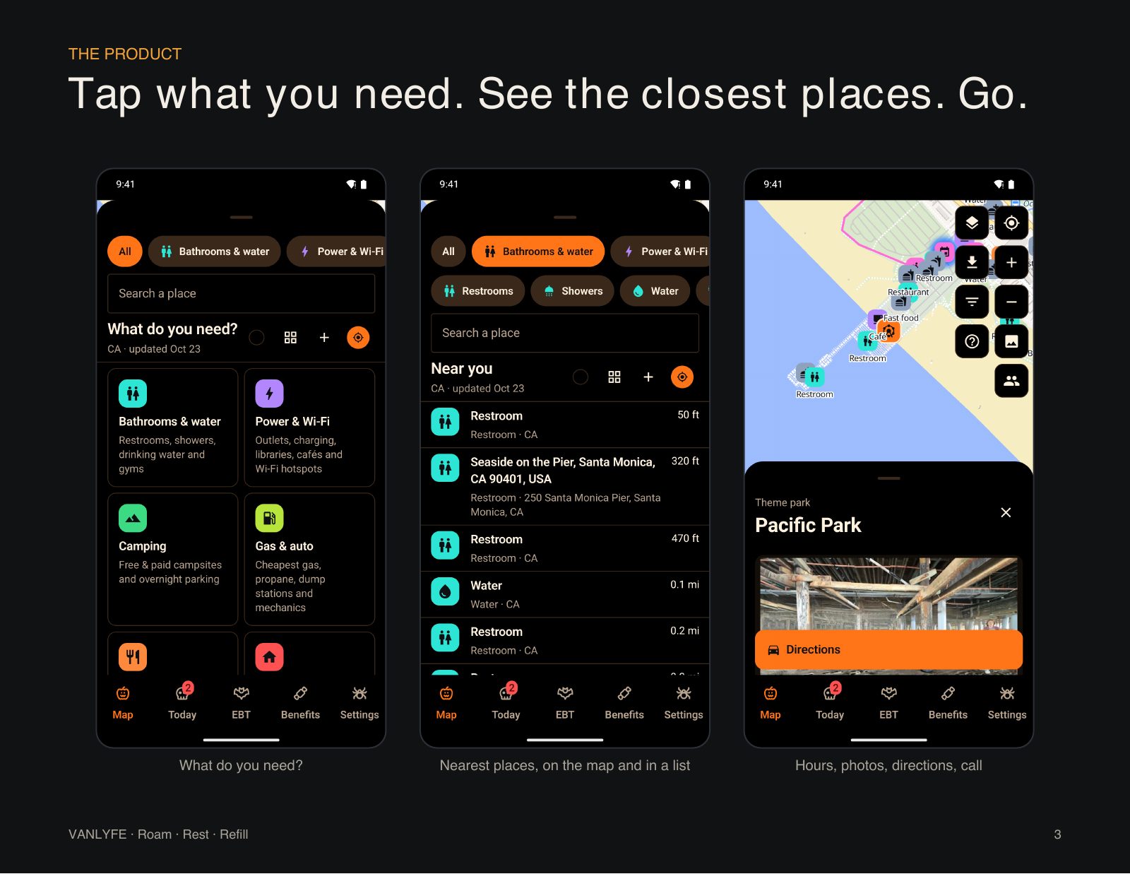
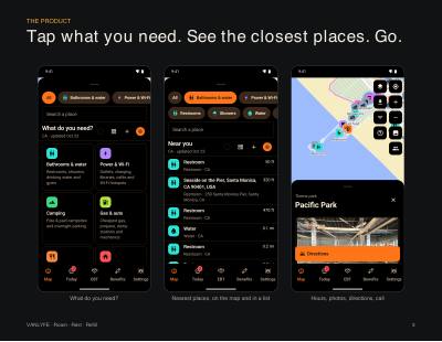
Pick a need, or narrow it to one kind of place: restrooms, showers or water.
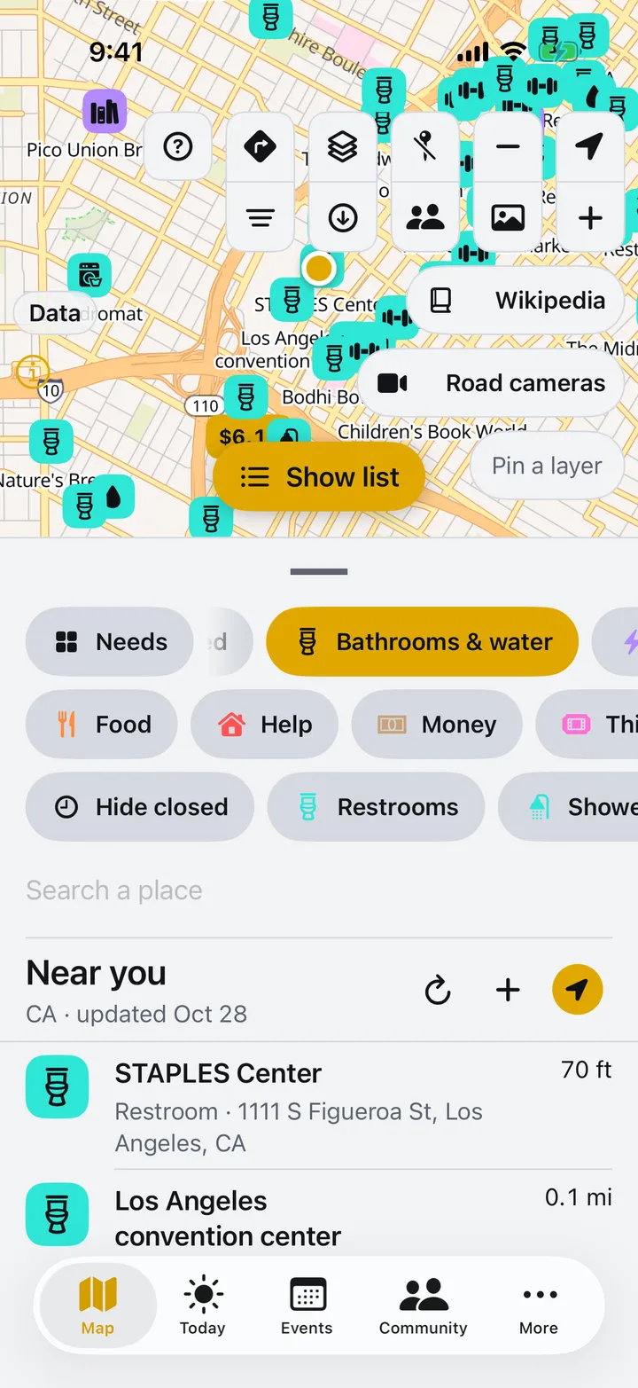
On the map and in a list, closest first, or cheapest first for gas, by grade.
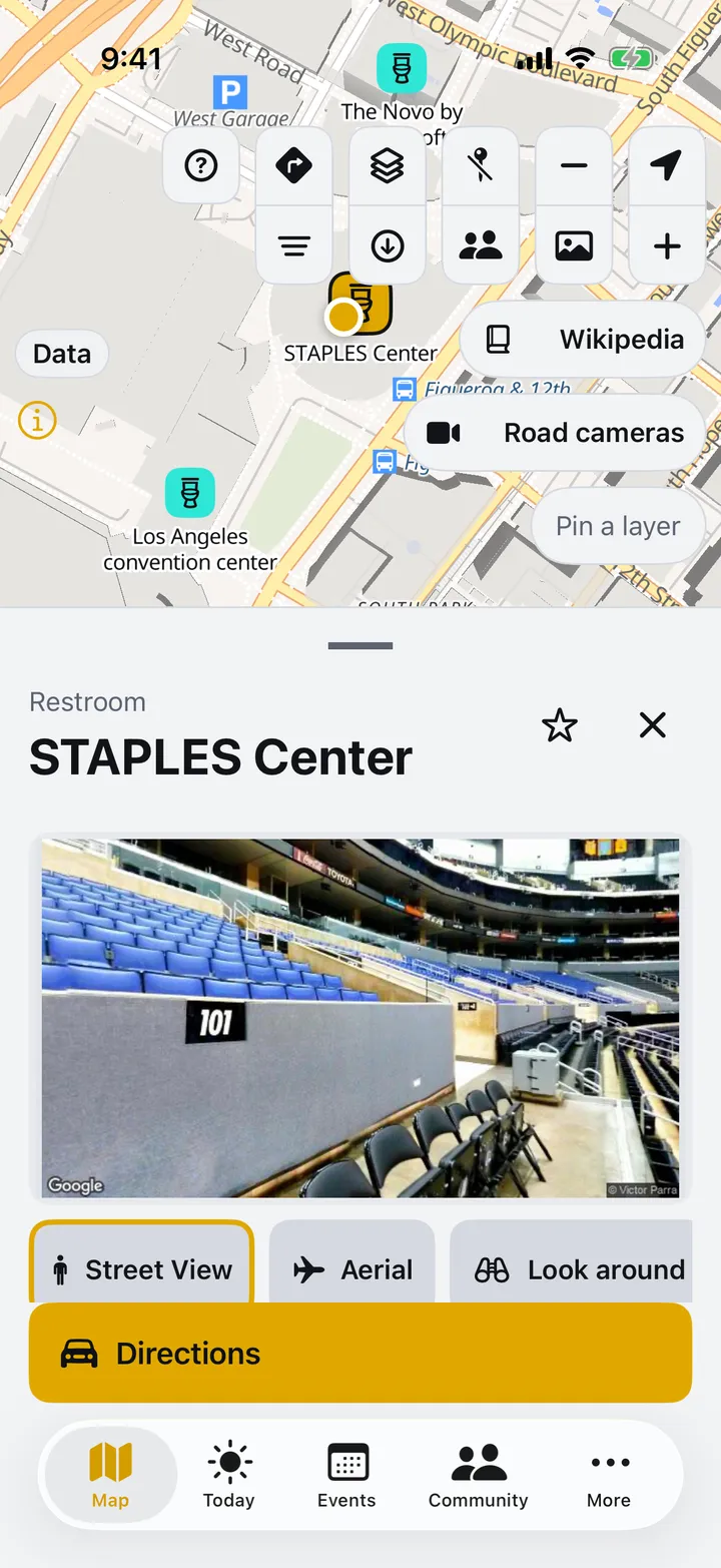
Hours, photos and directions on every place, with a street-level look before you get there.
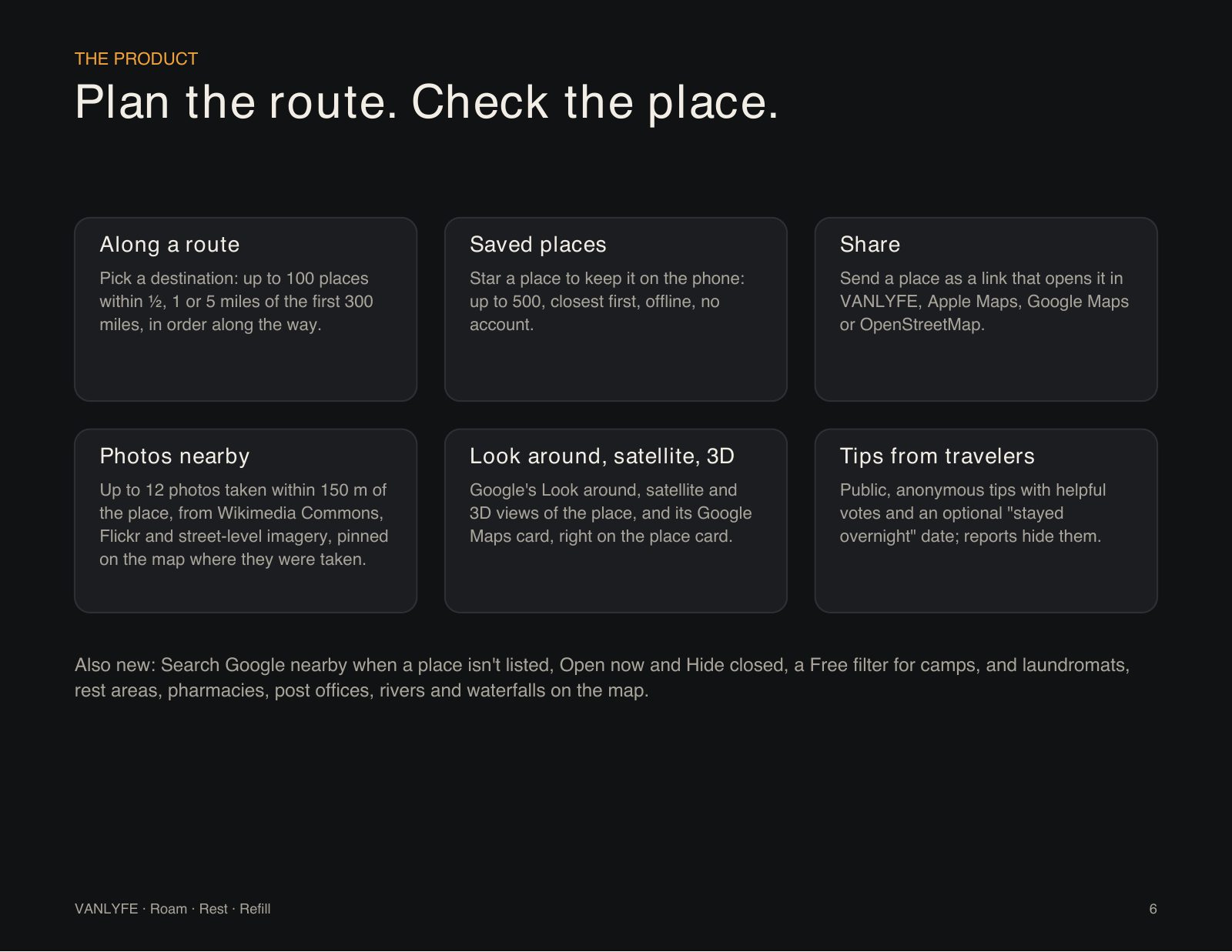
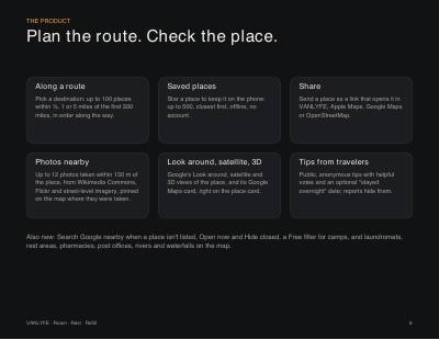
Places along your drive, a shortlist that works offline, and a real look at a spot before you go.
Pick a destination and see up to 100 places within ½, 1 or 5 miles of the first 300 miles, in order along the way.
Star a place to keep it on the phone: up to 500, listed closest first, offline, with no account.
Send a place as a link that opens it in VANLYFE, Apple Maps, Google Maps or OpenStreetMap.
Up to 12 photos taken within 150 m of the place, from Wikimedia Commons, Flickr and street-level imagery, pinned on the map where they were taken.
Google's Look around, satellite and 3D views of the place, plus its Google Maps card, right on the place card.
Public, anonymous tips with helpful votes and an optional “stayed overnight” date; reports hide them.
Also new: Search Google nearby when a place isn't in the list, Open now and Hide closed, a Free filter for camps, and laundromats, rest areas, pharmacies, post offices, rivers and waterfalls on the map.
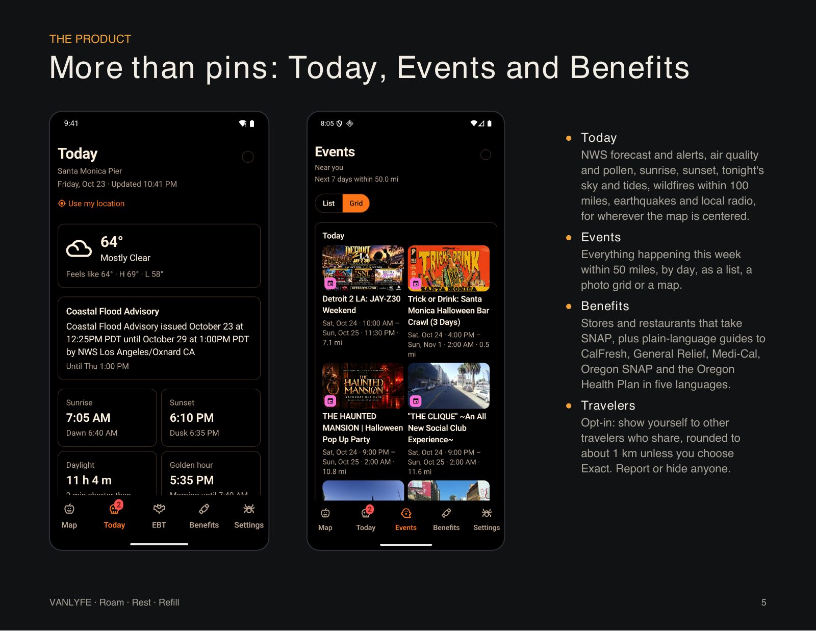
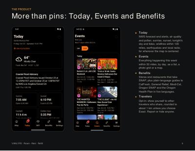
The forecast, live layers and alerts, what's on this week, and where your benefits work, for wherever the map is.
NWS forecast and alerts, air quality and pollen, sunrise, sunset, tonight's sky and tides, wildfires within 100 miles, earthquakes and local radio.
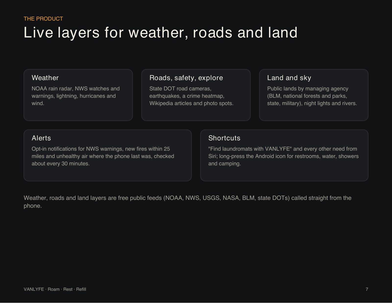
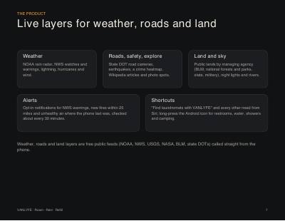
Rain radar, lightning, hurricanes and wind; road cameras, earthquakes and a crime heatmap; public lands, night lights and rivers.
Opt-in notifications for NWS warnings, new fires within 25 miles and unhealthy air where the phone last was.
Everything happening this week within 50 miles, by day, as a list, a photo grid or a map. Tap one and it opens on the map.
Stores and restaurants that take SNAP near you, plus plain-language guides to CalFresh, General Relief, Medi-Cal, Oregon SNAP and the Oregon Health Plan in five languages.
Opt-in: show yourself to other travelers who share, rounded to about 1 km unless you choose Exact. Report or hide anyone.
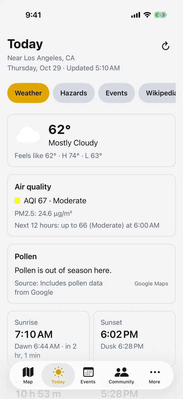
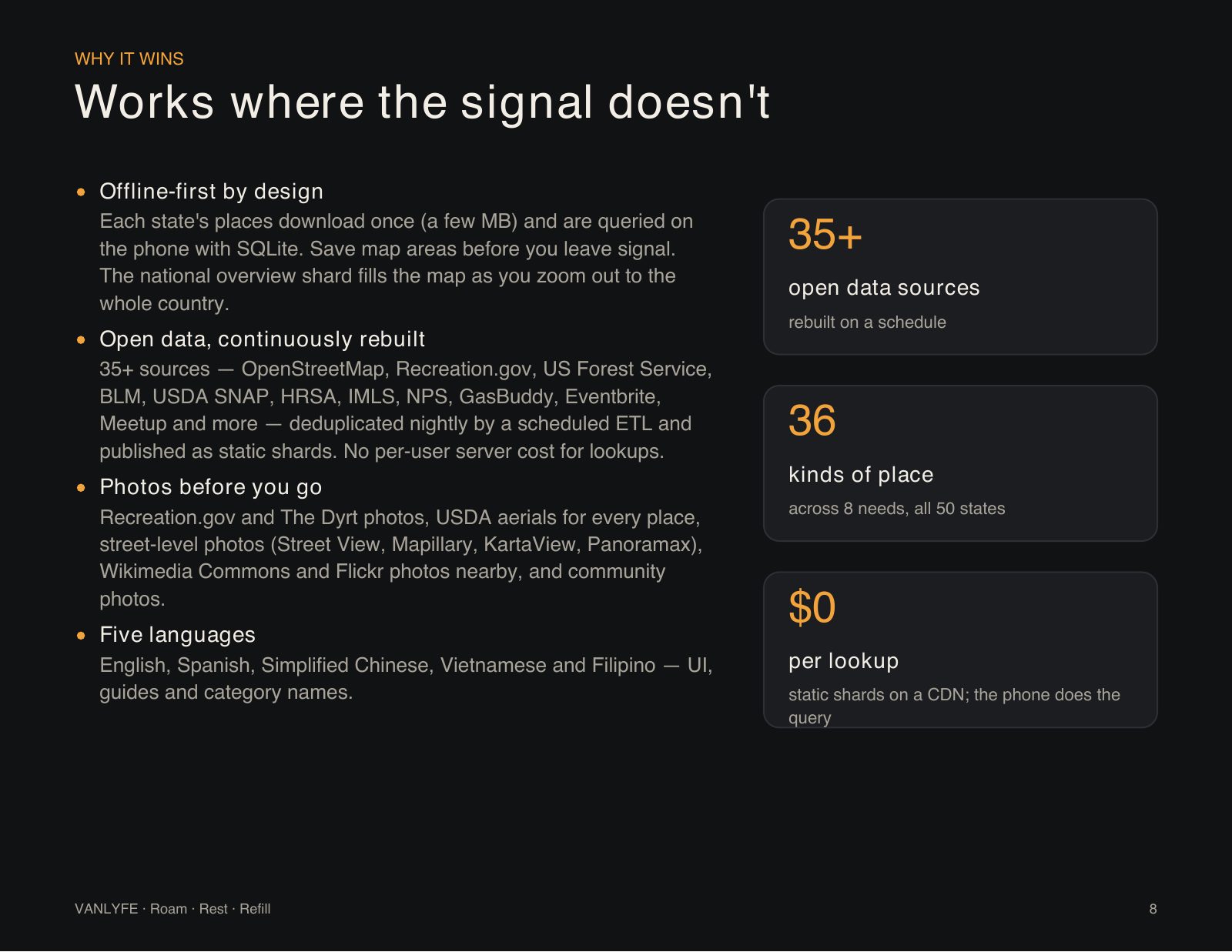
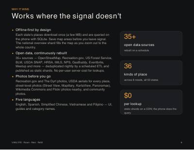
Each state's places download once, a few MB, and every lookup runs on the phone with SQLite. Save map areas before you leave signal.
Places, filters and saved map areas keep working with no signal, and the national overview fills the map as you zoom out to the whole country.
35+ sources, deduplicated by a scheduled ETL and published as static shards on a CDN. The phone does the query, so a lookup costs nothing to serve.
Recreation.gov and The Dyrt photos, USDA aerials for every place, street-level photos (Street View, Mapillary, KartaView, Panoramax), Wikimedia Commons and Flickr photos nearby, and community photos.
English, Spanish, Simplified Chinese, Vietnamese and Filipino, across the app, the guides and every category name.
Built on open data
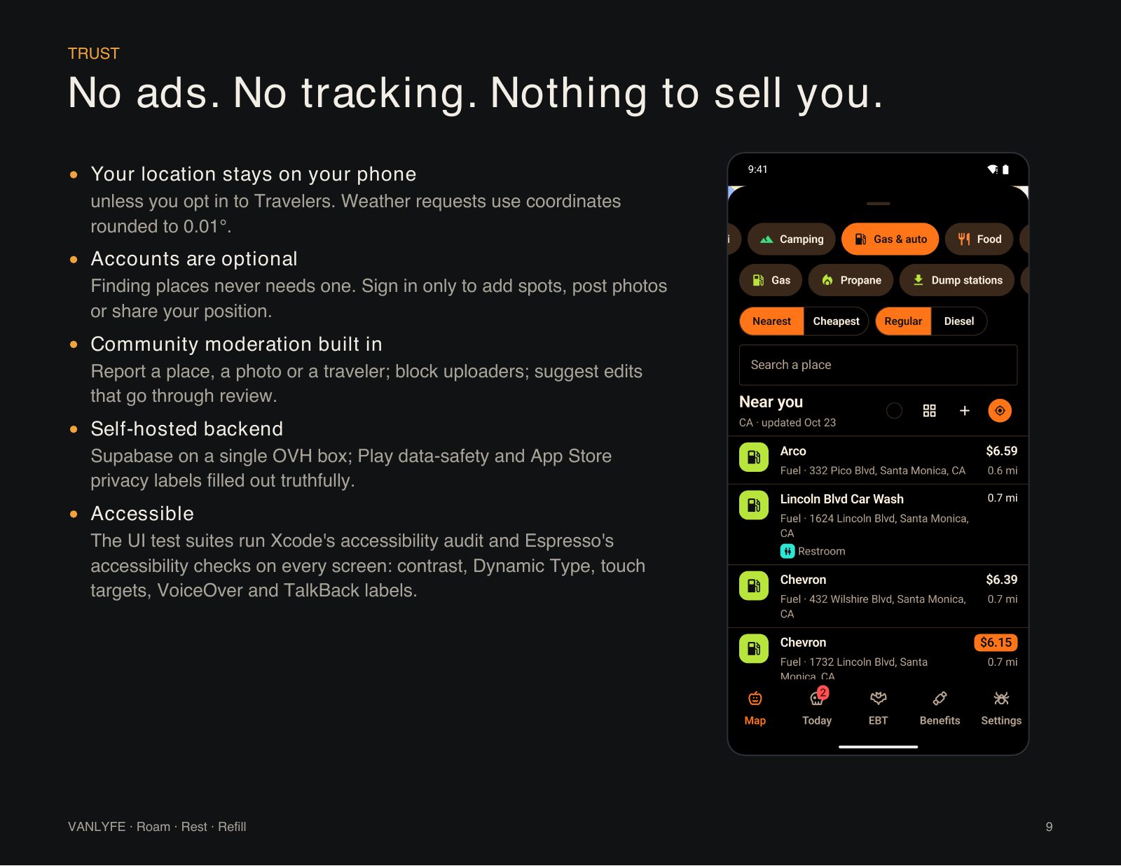
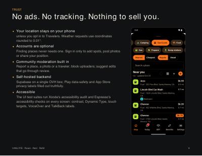
Unless you opt in to Travelers. Weather requests use coordinates rounded to 0.01°.
Finding places never needs one. Sign in only to add spots, post photos or share your position.
Report a place, a photo or a traveler, block uploaders, and suggest edits that go through review.
Accounts and community posts live on our own server, with Play data-safety and App Store privacy labels filled out truthfully.
Automated accessibility audits on every screen: contrast, text size, touch targets, VoiceOver and TalkBack labels.
Community › Settings › Account › Delete account removes your account, profile, messages, photos and traveler profile, or ask by email.
VANLYFE is in beta. Android installs straight from this page; iPhone installs through Apple's TestFlight.
Android 8.0 or newer on a 64-bit phone
To update, download and install again from this page; the new version replaces the old one and keeps your saved places. If you already have VANLYFE from Google Play, uninstall it first.
iOS 17 or newer, through Apple's TestFlight app
New versions show up in TestFlight with an Update button. Each beta version stops working 90 days after it comes out.
The problem, the product, coverage, trip tools, live layers, why it wins, trust, and where VANLYFE goes next, in eleven slides.
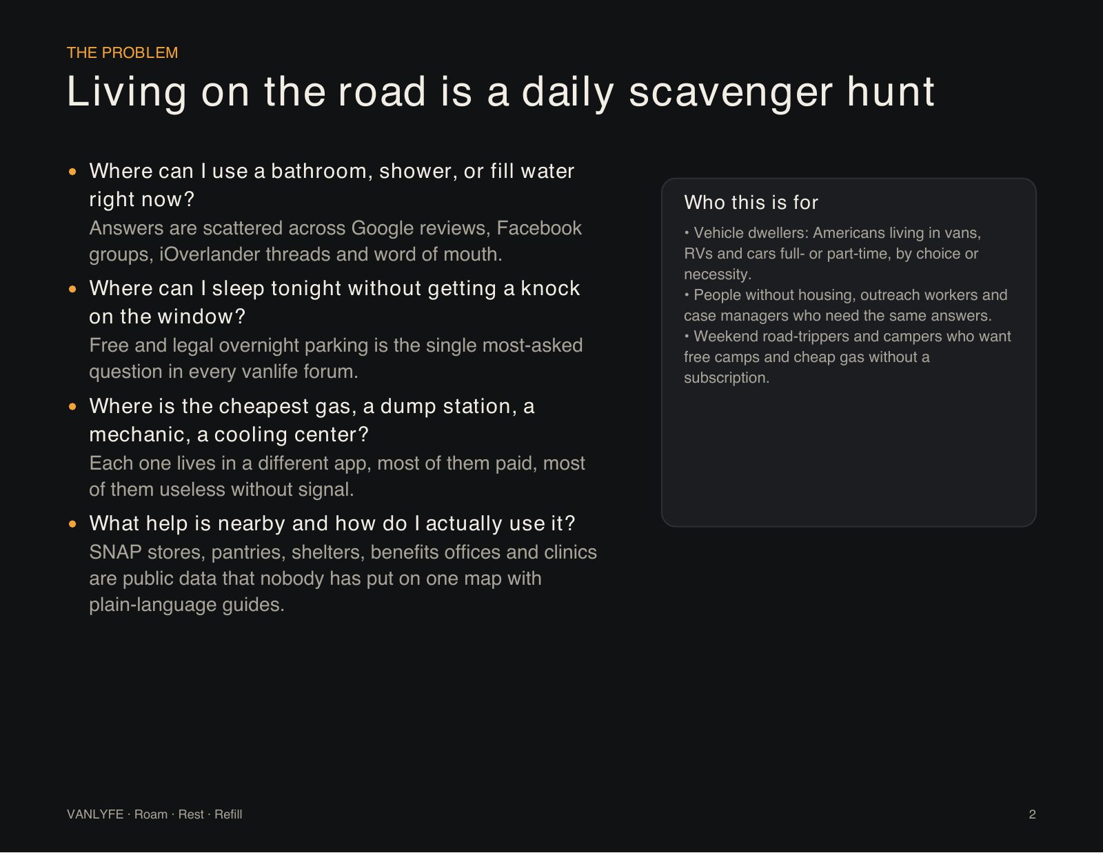
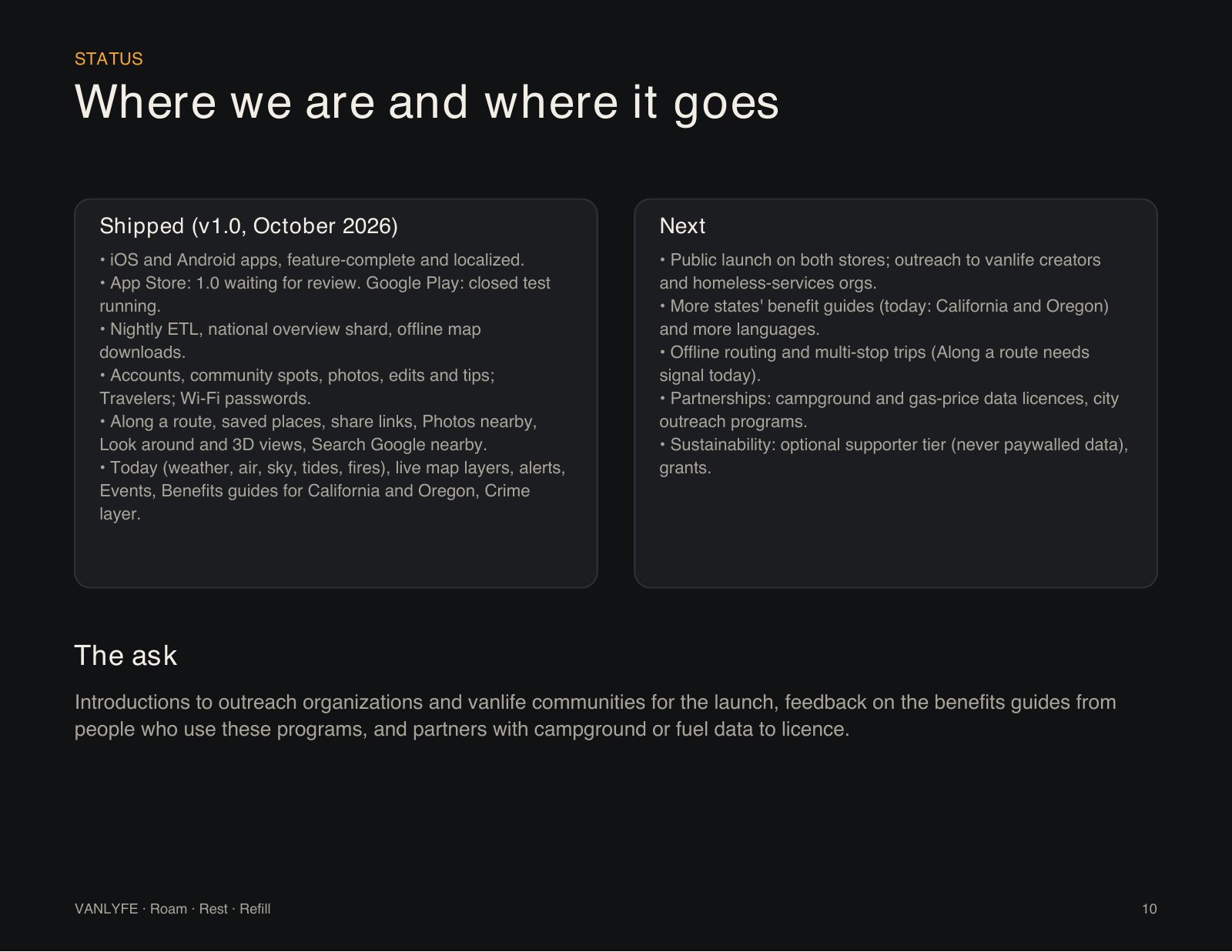
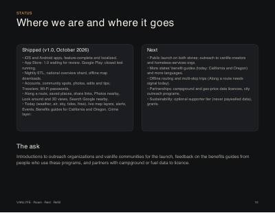

Introductions to outreach organizations and vanlife communities for the launch, feedback on the benefits guides from people who use these programs, and partners with campground or fuel data to license.